CAD File Converter – DWG-DXF-PDF and others – convert, view and print
Conversion from CAD (DWG, DXF, DWF) to DWG, DXF, DWF e PDF, with preview and printing
Domus.Cad Pro 26 – BIM 3D Architectural CAD
BIM 3D CAD for architectural design and civil engineering. Interactive rendering, elevations, sections, perspectives and axonometry. It use parametric elements like windows, walls, stairs, roofs etc.
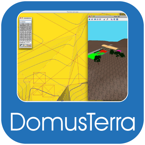
DomusTerra – land modelling for architecture
DomusTerra – interactive modeling, walkthroughs in real time, supports textures, supports plug-in renderers. Small and medium projects and landscape
HighRoad – advanced road design software
Progettazione stradale per progetti piccoli e grandi, multigrade, con intersezioni, terreni stratificati, calcolo di volumi, transizioni e generazione di filmati
VerPres – ULS reinforced concret analysis
Applicazione per iPhone per la verifica di sezioni in cemento armato presso e tenso compresse, conforme alle NTC 2008
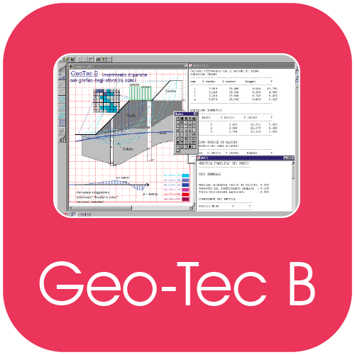
Geo-Tec B – verification of stratified slopes
Geo-Tec B allows the verification of stratified slopes, dams, riverbanks, in the presence of water beds, loads, reinforced earth and piles
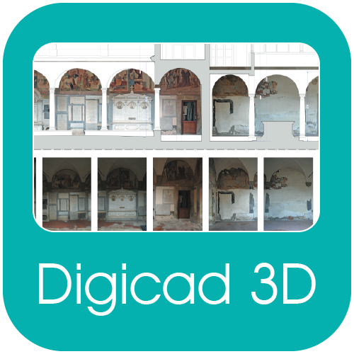
DigiCad 3D – Photogrammetry, mapping, architectural surveys
DigiCad 3D is an excellent tool for dealing with images, drawings, photographs of building, regular or irregular surfaces and maps. It operates either directly on raster images or by digitization. It is used in aerial and architectural photogrammetry, cartography, and mapping, for which it offers powerful, easy-to-use and exclusive instruments.
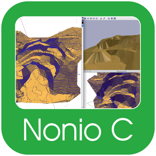
Nonio C – 3D terrain display and modelling
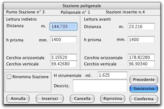
Programma di modellazione e rappresentazione 3D del terreno, con rappresentazioni tecniche quali sezioni, curve di livello, carte clinometriche e fotorealistiche, rendering e navigazione in tempo reale



 6 images
 6 images
 6 images