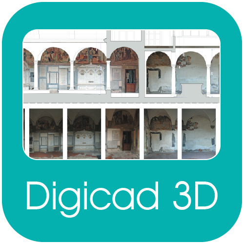
DigiCad 3D – Photogrammetry, mapping, architectural surveys
DigiCad 3D is an excellent tool for dealing with images, drawings, photographs of building, regular or irregular surfaces and maps. It operates either directly on raster images or by digitization. It is used in aerial and architectural photogrammetry, cartography, and mapping, for which it offers powerful, easy-to-use and exclusive instruments.


