P.zza Monteoliveto 6/A - Pistoia - Italyinterstudio@interstudio.net

Interstudio News Italian Version

FacebookYouTubeMail
InterstudioInterstudio
Interstudio
Architectural & Engineering Software
  • Who we are
  • Products
    • Catalog
    • Euro Price List
    • USD Price List
    • Rent To Own
  • Download
  • Arguments
    • Architecture
    • Civil Engineering
    • Surveying and mapping
    • Geotechnical engineering
  • Support
    • Support
    • Remote support
    • Faq
    • FAQ Domus Cad
    • Tips & Tricks
  • Web & Mobile
    • Web and mobile development
Menu back  
 

Software catalog

You are here:
  1. Home
  2. Software catalog
View allArchitectureCADEngineeringfront pageGeotechnical EngineeringPhotogrammetrySurveying
Date Name
DescAsc
DigiCad 3D
ZoomDetails

DigiCad 3D – Photogrammetry, mapping, architectural surveys

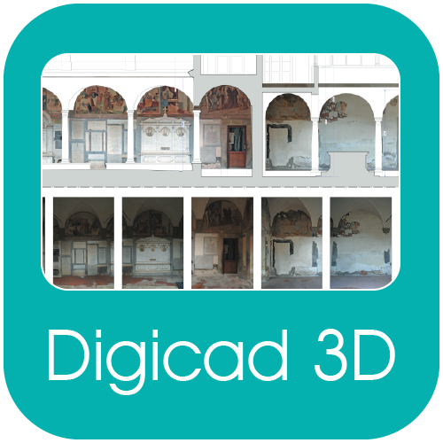
DigiCad 3D is an excellent tool for dealing with images, drawings, photographs of building, regular or irregular surfaces and maps. It operates either directly on raster images or by digitization. It is used in aerial and architectural photogrammetry, cartography, and mapping, for which it offers powerful, easy-to-use and exclusive instruments.

4 January 2014Architecture, front page, Photogrammetry, SurveyingBy admin
  • Faq
  • Euro Price List
  • US$ Price List
  • Rent to Own software
  • Support
Contacts

Interstudio S.r.l.
Piazza Monteoliveto 6/a
51100 Pistoia - Italy
tel. +39 0573 99291
fax. +39 0573 992930
interstudio@interstudio.net

Social

Find us on:

FacebookGoogle+YouTube
Interstudio
Interstudio S.r.l.